
Conservation Lands/Trail Maps
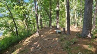
Approximately 645 acres of land within Northbridge have been deeded to and/or are under the management of the Conservation Commission. Formerly established conservation lands/areas include the Elsa Whitin Mason Conservation Land, Richard T. Larkin (Shining Rock) Conservation Area, Arcade Pond, Riley Pond, Mumford Riverwalk and the recently acquired Castle Hill Farm Conservation Land. In addition, open space parcels within several residential subdivisions and other undeveloped parcels of land are under the management of the Conservation Commission. Trail maps and descriptions for actively managed properties can be obtained by clicking the links below. Actively-managed trails are marked with green circular directional arrows. More trails and areas will be added to this page in the future. Use of Conservation Lands is governed by the Rules posted in the link below.
Maintenance of upgrades of the town's Conservation Lands is primarily funded through donations to the Conservation Fund. If enjoy using the lands and would like to help (either by donating or by participating in a volunteer work day), please contact the Commission at 508-234-0817.